Freya Bauer · 19 September 2026
Velano's Hidden Aqueduct Networks and Their Role in Shaping Regional Agriculture
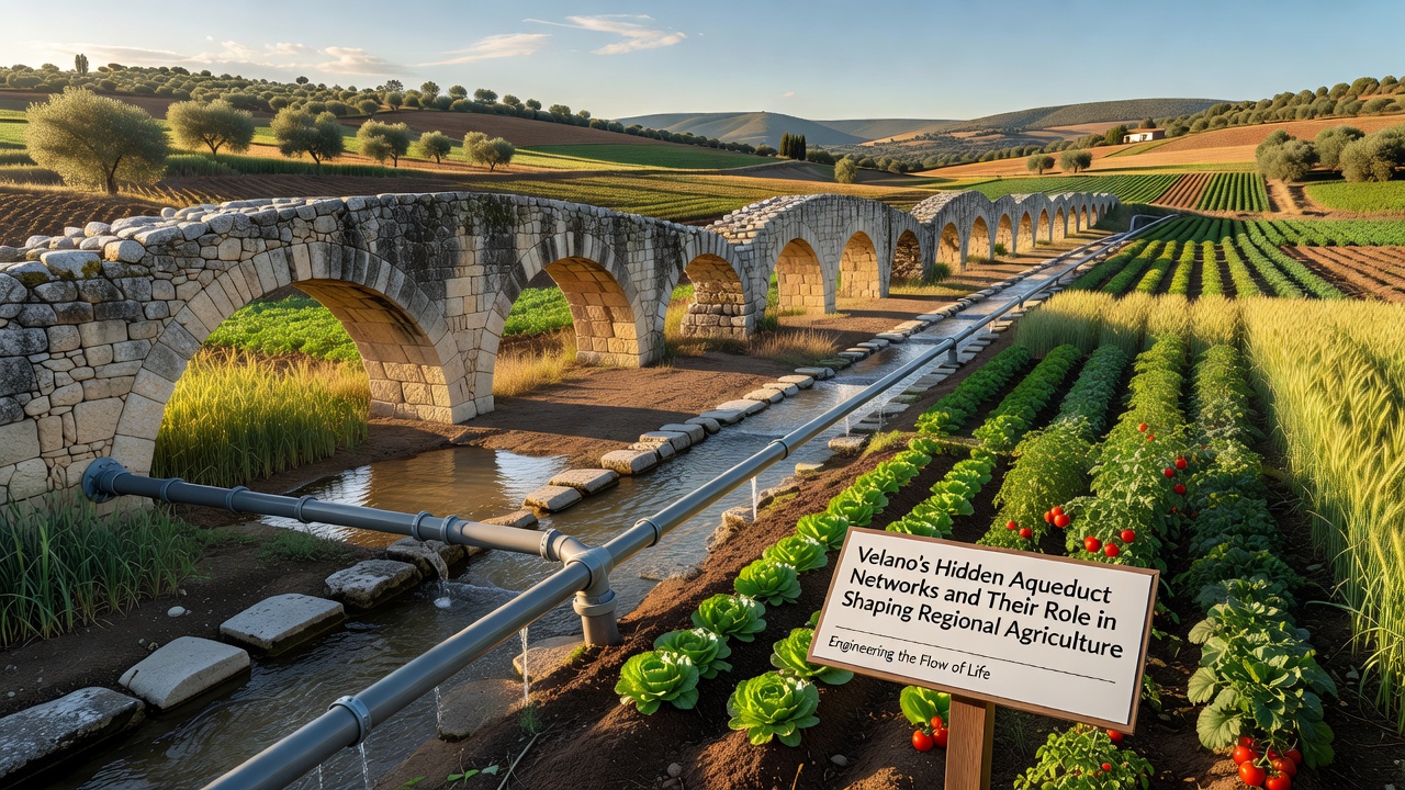
The aqueduct networks beneath Velano consist of interconnected channels and tunnels that have carried water across the region for centuries, and they continue to influence farming practices today. These systems, often concealed under layers of soil and modern infrastructure, trace their origins to ancient engineering methods that adapted to the local terrain and seasonal water flows. Regional surveys document how the networks distribute water from higher elevations to lower fields, supporting consistent crop production even during dry periods.
Historical Development of the Networks
Construction of the primary channels began in periods when communities expanded agricultural land into previously arid zones, and builders used stone arches alongside carved rock passages to maintain steady gradients. Over time, additional branches connected to natural springs and seasonal streams, which allowed the system to expand without relying solely on surface rivers. Evidence from excavation sites shows that maintenance crews reinforced sections with lime mortar and clay seals to reduce leakage, while records from local archives note periodic repairs that aligned with shifts in land ownership patterns.
By the medieval era, the networks had integrated with terrace farming layouts, and farmers directed water through smaller distribution pipes to individual plots. This integration helped stabilize yields for grains, olives, and vineyards that formed the backbone of the regional economy. Later expansions incorporated overflow mechanisms that prevented flooding in heavy rain seasons, and these features remain visible in preserved sections near the central valleys.
Impact on Crop Production and Land Use
Data from agricultural censuses indicate that fields connected to the aqueduct system produce higher volumes of certain crops compared with areas dependent on rainfall alone, and this difference stems from reliable moisture levels during critical growth stages. Irrigation through the hidden channels supports intensive planting cycles for vegetables and fruits, while also enabling rotation practices that maintain soil nutrients over multiple seasons. Studies conducted by regional universities have mapped how water allocation patterns correlate with specific soil types, which in turn guides decisions about which varieties to cultivate in each zone.
Land records reveal that property values along the aqueduct routes rose steadily as access to controlled water supplies reduced crop failure risks, and this economic shift encouraged further investment in storage facilities and processing equipment. The networks also facilitated the spread of specialized techniques such as subsurface watering, which minimizes evaporation and allows farmers to extend growing periods into warmer months. One study revealed that communities utilizing these channels maintained steadier outputs of staple foods during climate variations recorded between the 18th and 20th centuries.
Modern Management and Preservation Efforts
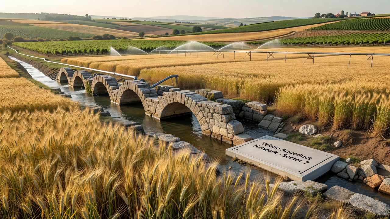
Current oversight involves collaboration between local authorities and agricultural cooperatives that monitor flow rates and conduct structural assessments using non-invasive scanning tools. In September 2026, updated mapping projects will incorporate drone surveys and sensor data to identify sections requiring reinforcement before the next planting cycle begins. These initiatives build on earlier documentation efforts that catalogued over 150 kilometers of channels still in partial use.
Preservation guidelines emphasize minimal intervention to retain original construction materials, while permitting upgrades that improve water efficiency without altering historical alignments. Agricultural extension services provide training on compatible modern irrigation methods that complement the existing infrastructure, and this approach helps reduce overall extraction from surface sources. Figures from environmental monitoring programs show that integrated use of the aqueduct networks contributes to lower groundwater depletion rates in surrounding districts.
Connections to Broader Regional Systems
The Velano networks link with similar structures in adjacent territories, which creates a wider framework for water sharing during peak demand periods. Research from institutions across the European Union has examined these linkages as models for sustainable resource distribution, and findings highlight how gravity-fed designs limit energy requirements compared with pumped alternatives. Trade organizations focused on Mediterranean agriculture have referenced these systems in reports on adaptive farming strategies that address variable precipitation patterns.
Community-led restoration projects have uncovered additional branches that previously went unrecorded, and these discoveries continue to refine understandings of how the networks shaped settlement locations. Observers note that the systems influenced not only crop choices but also the placement of storage buildings and market routes that developed around reliable water points. Data collected through long-term observation programs confirm that areas with intact aqueduct access experienced more gradual transitions in land use during periods of economic change.
Conclusion
Velano's hidden aqueduct networks remain integral to regional agriculture through their capacity to deliver consistent water supplies across varied terrain. Ongoing documentation and maintenance activities ensure that these structures support current farming needs while preserving evidence of earlier engineering solutions. Regional data continues to demonstrate the networks' contribution to stable production levels, and future projects will likely expand knowledge of their full extent and operational history.